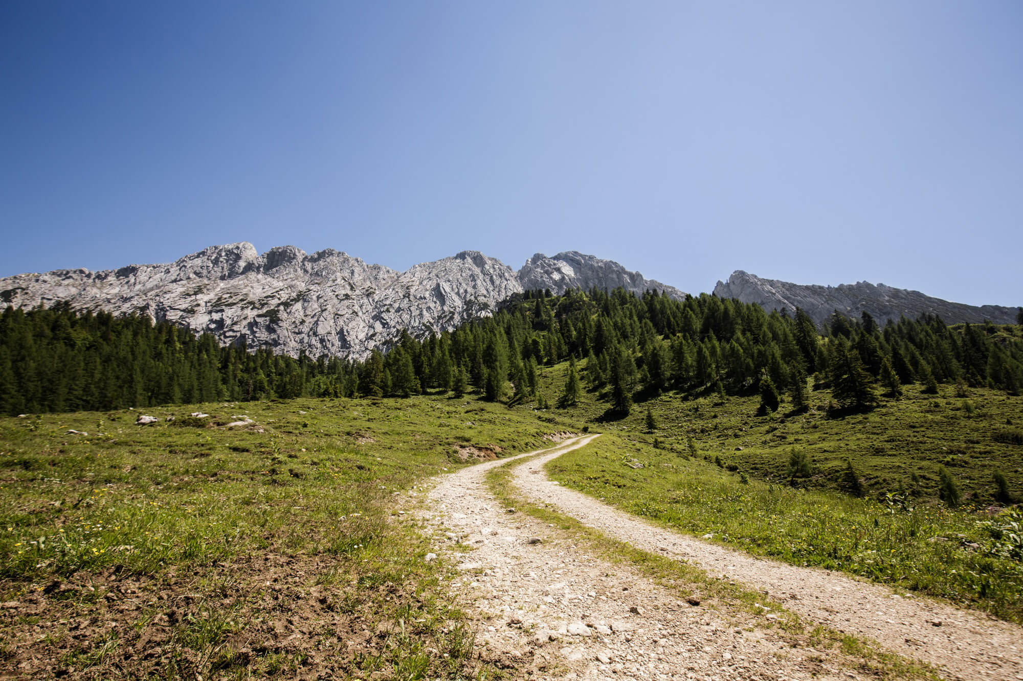
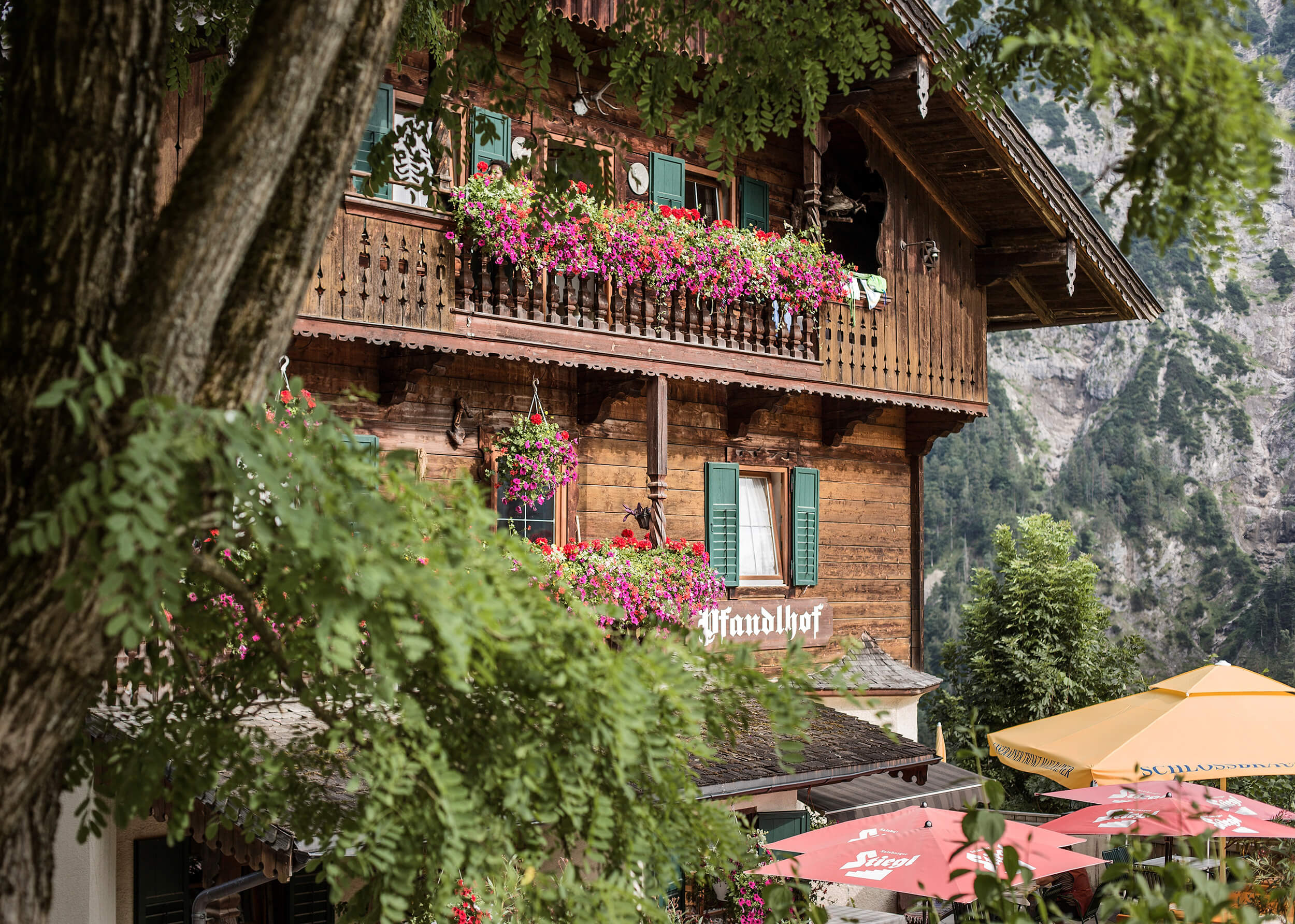
HIKING, WALKING AND RUNNING
in Kufsteinerland
“You haven’t really been somewhere unless you’ve been there on foot.”
(Johann Wolfgang von Goethe)
All hikers can expect to enjoy these healthy benefits: They improve their physical fitness and gain a valuable respite from the hectic pace of everyday life.
The suggested trails are provided by the Kufsteinerland Tourist Association and each contain:
- General map (OpenstreetMap)
- GPX file as download
- Elevation profile
- Elevation gain
- Length of the route
- Location information for the starting point / destination
- Trail descriptions
- Photos
Hiking trails in Kufsteinerland
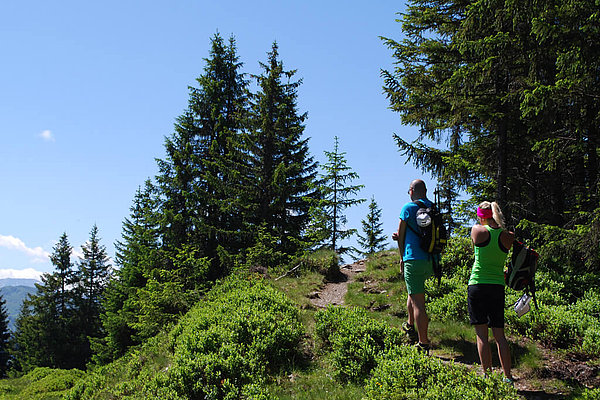
Mountaineers, summiteers, nature lovers and connoisseurs – there is something to suit every type of hiker in Kufsteinerland.
Recommended trails in Bad Häring
- Juffinger Jöchl circuit
(Difficulty: medium | length: 12 km | elevation gain: 1173 m) - Pölven circuit
(Difficulty: medium | length: 16,6 km | elevation gain: 951 m) - Legend trail
(Difficulty: easy | length: 7,4 km | elevation gain: 776 m) - Stallhäusl circuit
(Difficulty: easy | length: 11,7 km | elevation gain: 1097 m) - Mining & Coal theme trail
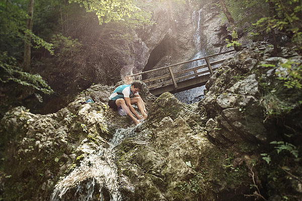
(Difficulty: easy | length: 5,2 km | elevation gain: 758 m) - Waterfall circuit
(Difficulty: easy | length: 4,6 km | elevation gain: 663 m) - » all trails in the region
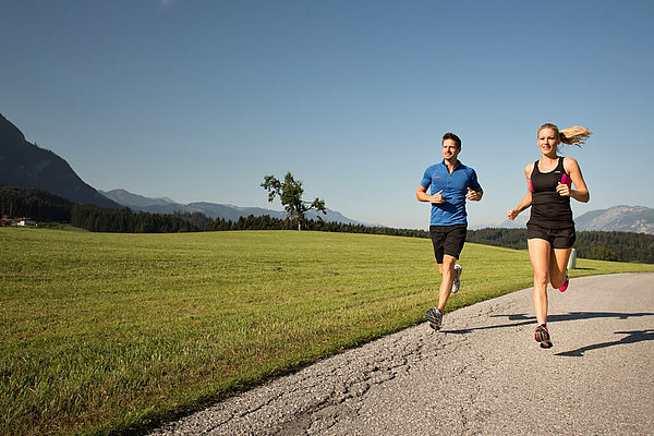
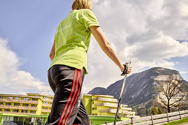
Running & Nordic walking trails in Kufsteinerland
- village circuit
(Difficulty: easy| length: 6,2 km | elevation gain: 83 m) - Jolsport circuit
(Difficulty: hard | length: 13,9 km | elevation gain: 387 m) - Panorama circuit
(Difficulty: medium | length: 8,1 km | elevation gain: 109 m) - » all circuits in the region
Longing: mountains
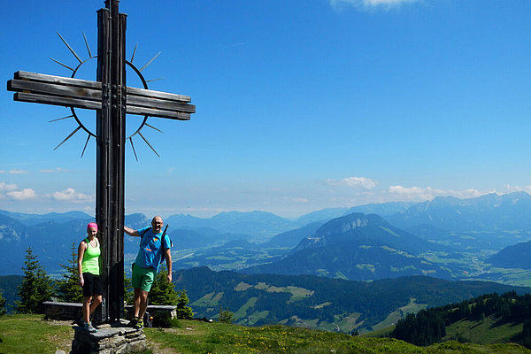
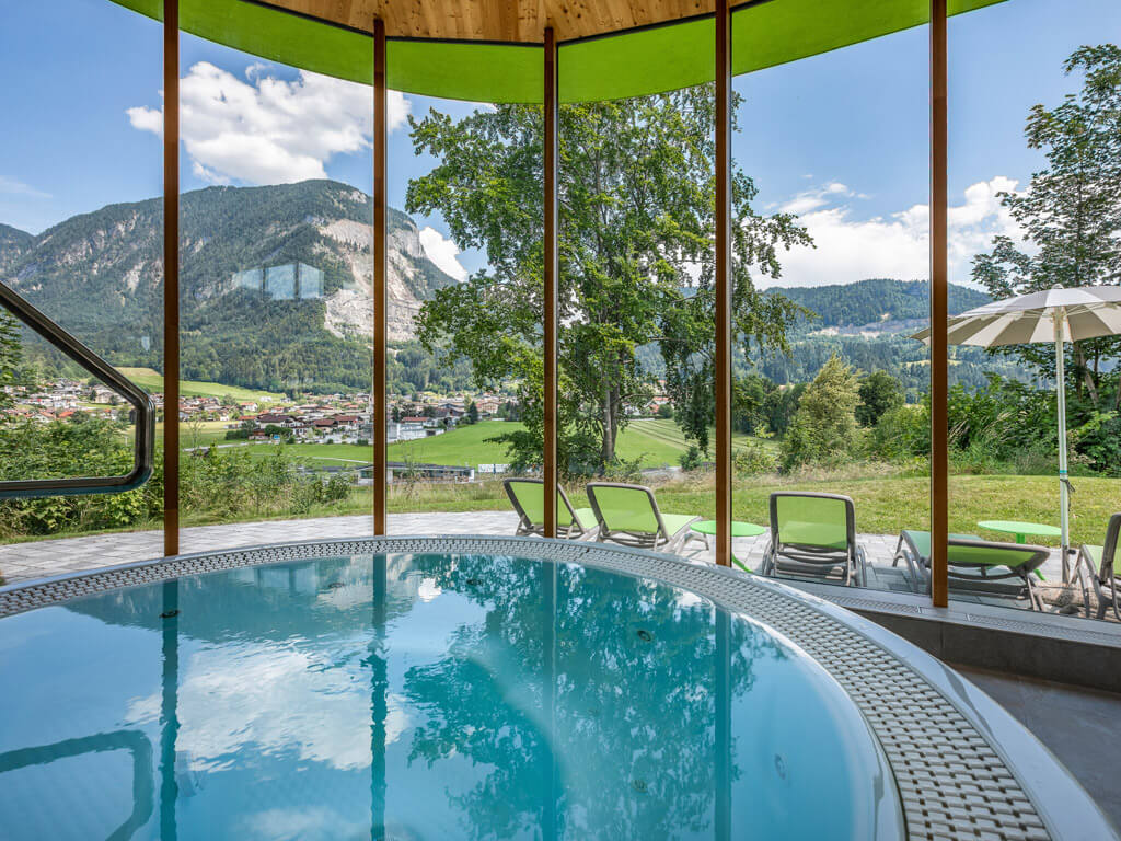
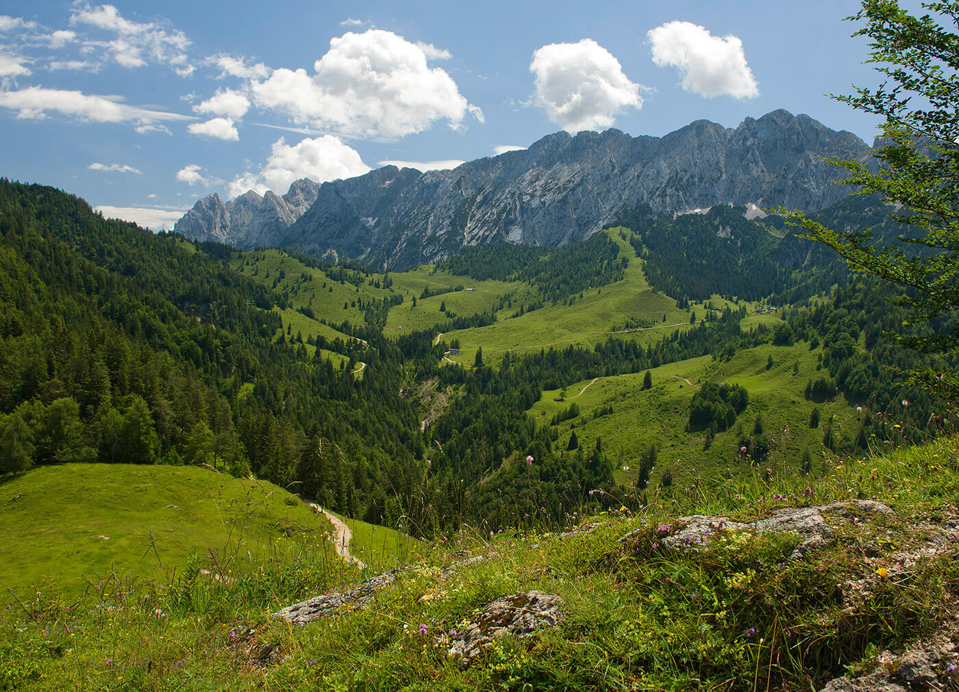
Discover the picturesque landscape around Bad Häring, the beauty of the Kaisergebirge and the diversity of the Kufsteinerland. Whether you are a summit climber, mountaineer or nature lover - there is a suitable offer for every type of hiker.
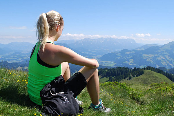
In addition to enjoying the incomparable panorama of the surrounding mountains, you not only promote your physical health, hiking also helps you escape from the hectic pace of everyday life.
LONGING: MOUNTAINS - 3 nights
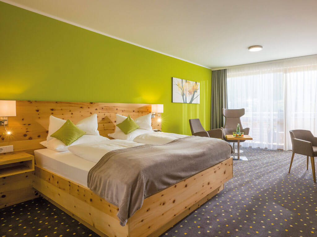
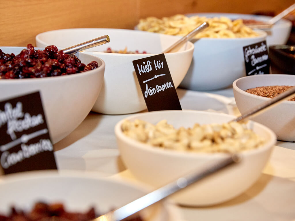
✓ 3 nights incl. half board with breakfast buffet and five-course menu of choice in the evening
✓ DAS SIEBEN drinking bottle & snack box
✓ Hiking guide | accompanied hike
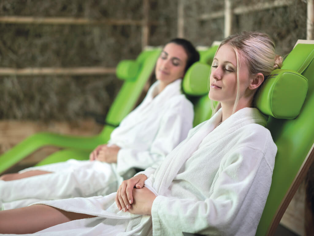
✓ Kneipp | hydrojet | therapeutic bath and much more
LONGING: MOUNTAINS - 4 nights
✓ 4 nights incl. half board with breakfast buffet and five-course menu of choice in the evening
✓ DAS SIEBEN drinking bottle & snack box
✓ Hiking guide | accompanied hike
✓ Kneipp | hydrojet | therapeutic bath and much more
LONGING: Mountains (6 nights)
✓ 6 nights incl. half board with breakfast buffet and five-course menu of choice in the evening
✓ DAS SIEBEN drinking bottle & snack box
✓ Hiking guide | accompanied hike
✓ Kneipp | hydrojet | therapeutic bath and much more



![[Translate to en:] [Translate to en:]](https://www.das-sieben.com/fileadmin/user_upload/Angebotsseiten/Fr%C3%BChbucherrabatt/DAS_SIEBEN_Sehnsucht_Berge_Kaisertal-Kufsteinerland_lolin.jpg)
